EIR Earth App
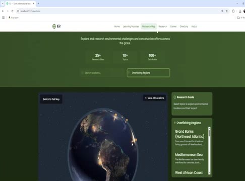
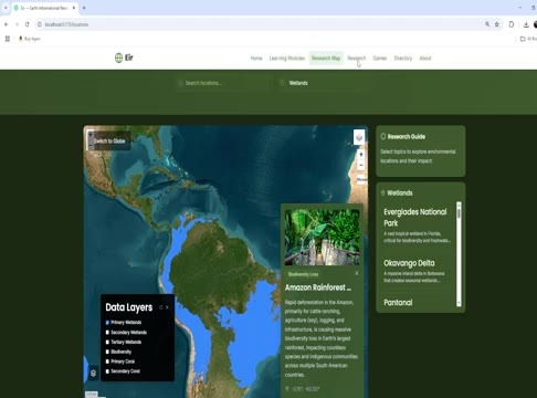
An earth data web app built as a service learning project. Its Research Map pairs a 3D night-earth globe, with an Overfishing Regions panel, against a flat satellite map with data layers and an Amazon Rainforest callout.
The stills below come from the project video, showing both views of the app.
Built with
- Web app
- 3D globe
- Satellite maps
- Data layers
Want something like this for your business? info@pennies.net — first conversation is free.